
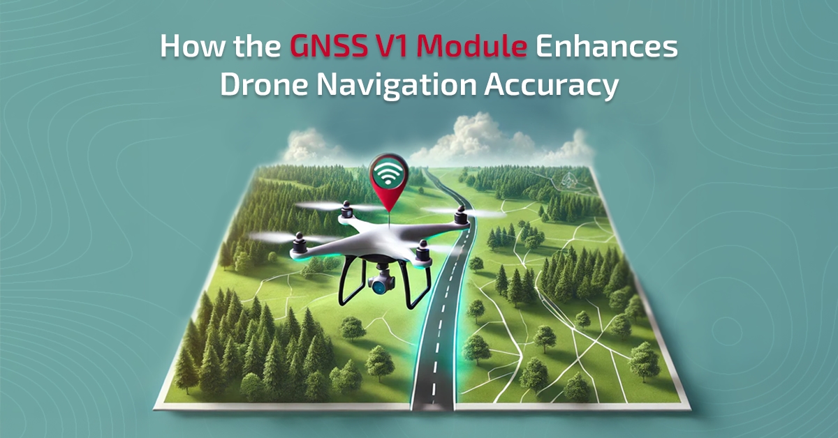
Navigation is the core of every drone's flight. To fly safely and efficiently, drones depend on very accurate locational data for almost every task they do, from field surveying to package delivery and even light shows. A slight deviation from its location could result in unstable flying, low-quality maps, or, in the worst-case scenario, crashing.
Most drones have employed GPS systems for positioning. The problems with traditional GPS are:
Signal drift: Errors arise when receiving satellite signals that slightly change over time.
Delays: Slow signalling from a poor or bad signal.
Limited view of the satellites: The accuracy of the position is dependent on the number of satellites that can be viewed; hence, accuracy is compromised with a lesser number of satellites, especially in a thickly wooded area or mountainous region.
This is why the GNSS V1 module exists. It was made to be accurate and reliable, allowing the drone to stay on point even when it is in such tricky situations. The device elevates accuracy in navigation to a professional level; thus, the flights become more stable and safer
Understanding GNSS Technology
GNSS is an abbreviation of Global Navigation Satellite System. It is a more general term than GPS. While GPS is used for the American satellite system only, GNSS refers to several global constellations, providing a more robust and stable network.
GNSS provides support to several satellite systems:
GPS (United States)
GLONASS (Russia)
Galileo (Europe)
BeiDou (China)
With the ability to watch several constellations at the same time, the GNSS V1 Module increases the accuracy, lowers the chance of signal loss, and gives a better satellite availability. In case certain satellites are obscured by buildings or terrain, the module is still able to determine an accurate location from the remaining ones. It is this multi-constellation tracking that renders GNSS-based navigation less affected by drops and more reliable than standard GPS.
What is inside the GNSS V1 Module: Design and Functionality
The GNSS V1 Module has been packed in a small and lightweight package; therefore, it is quite simple to wire new-gen flight controllers like F405 and F722. Despite the fact that it is small dimensions, it combines a few powerful performance elements that are able to function harmoniously to deliver the correct data.
Key Components:
High-performance antenna: Clearly and consistently records the satellite signals.
Compass sensor: Assists the drone in keeping its heading and direction.
Data interface: It makes the communication between the FC and the module possible.
The GNSS V1 Module locates various satellites after being turned on. Afterwards, it is done immediately by the unit itself. It collects information, processes it, and sends it to the drone's remote control. In short, it completes the circuit for the drone and calibrates the actual manipulation of the drone's movements, enabling it to execute without error or instability.
Key Features That Improve Navigation Precision
The GNSS V1 Module is loaded with a set of powerful features that help to improve drone navigation and performance:
Multi-satellite connectivity: Maintains a strong and consistent position even in a city or a mountain area.
High update rate: This is the main factor that the position is updated very quickly; hence, the response time is faster, and pilot control is smoother.
Low latency and noise resistance: The device takes care that no interference is caused by other electronic devices; thus, no delays occur.
Integrated compass: Is capable of providing precise heading information, which leads to better orientation and flight direction.
Dependable lock-on performance: Quickly connects to the satellite, even in the event of a brief power outage or a weak signal.
Drones with the GNSS V1 Module are better equipped to fly precisely, carry out automated missions effectively, and finish professional-quality tasks without sacrificing precision because of these features, which are made to work together harmoniously.
Real-World Advantages for Drone Pilots
Just knowing the exact position of the drone is not only a great technical feature, but it also makes the drone more effective and efficient in real operations. Drone pilots and operators notice straightforward benefits with the GNSS V1 Module, including:
Smoother autonomous flight: The drone moves along the flight paths with almost perfect accuracy.
Accurate waypoint tracking: Accurate waypoint tracking is a must that can be easily done in mapping, surveying, and route-following activities.
Return-to-home (RTH) functionality: With the help of this feature, the drone can return to the place where it started, thus the operation becomes safer.
Stronger mapping results: Smaller positional errors result in cleaner and more accurate survey data.
Strong multi-drone synchronisation: Essential for drone light shows when the timing and the synchronisation of the alignment have to be exact.
By improving flight stability and accuracy, GNSS V1 gives the confidence to fly in a more intelligent and safer way to both hobbyists and professionals.
Installation and Calibration Best Practices
Getting optimal performance from the GNSS V1 Module requires proper installation and calibration.
Installation Tips:
Placement: Position the module in a way that it doesn’t encounter magnetic interference. The best way is to put it to the side of the power wires or a motor.
Orientation: Place the antenna at the most unobstructed area of the sky to get optimal satellite visibility.
Vibration Isolation: Use soft mounts to avoid the effect of vibrations, causing different readings.
Connection Guidelines:
Connect your FC ports (such as I2C or UART) to the module’s power and signal cables.
Make sure that the communication rate and GNSS module type set by the firmware are compatible.
Calibration:
Calibration should be done using your FC software, in this case, INAV, Ardupilot, or Betaflight-after changing the positioning parameters.
If you want to achieve the best performance, do it in a bright and spacious location which gives an unobstructed view of the sky.
Correctly installing your module is crucial to ensuring that it works at full capacity, thus grounding accurate control to the UAV and a stable signal lock.
Applications: Where Precision Truly Matters
The GNSS V1 Module is built for situations and applications where navigation accuracy is not a choice; it's a requirement. Some of the main applications are
Drone light shows: Ideal synchronisation of several drones for artistic aerial performances.
Agricultural mapping: The GNSS V1 provides accurate field measurements and crop analysis based on trustworthy positioning data.
Photogrammetry and terrain surveys: 3D modelling with reduced positional errors and extremely accurate mapping.
Drones for delivery and inspection: Provide repeatable route tracking for the most effective infrastructure inspections and logistics.
Research and development: Enables experimental flight testing requiring constant and repeatable location accuracy.
Where accuracy, timing, and consistency matter, the GNSS V1 Module delivers.
GNSS V1 vs Conventional GPS Modules
Standard GPS modules are fine for simple navigation, but they tend to fail under challenging conditions. GNSS V1 raises performance to a higher level.
Due to its multi-constellation performance and enhanced signal processing, the GNSS V1 Module provides reliable and professional-quality performance. It is therefore perfect for industrial, research, and high-end consumer drones with no room for navigation errors.
The Future of GNSS in Drone Technology
The satellite navigation environment is changing very rapidly. You can expect more precise location, more robust anti-interference capabilities, and quicker data transfer from the future GNSS systems, making the drones more responsive and safer.
In this transition, devices such as the GNSS V1 are already setting the standard. Through multiple satellite systems and intelligent signal processing, they create a new standard for drone navigation precision. Over the next few years, modules like these will be pivotal in driving drone applications from autonomous deliveries to swarms and intelligent city surveillance.
Conclusion: The Edge of GNSS V1 in Drone Navigation
Precise navigation is the difference between a mediocre drone and a superior one. The GNSS V1 Module makes your drone continuously aware of its position and destination. Its fast data updates, multi-satellite support, and hardened design make it provide accurate flight routes, smoother control, and consistent mission results.
No matter if you're flying for research, surveying, or mass aerial performances, the GNSS V1 Module equips your drone with the precision it deserves.
Discover the GNSS V1 Module at the BotLab Store and enjoy next-generation flight accuracy.

